Ice Storm Damage? When You Need a Drone Survey
You may have seen recent storm footage showing snow and ice across Texas. The images look calm from above. Roofs appear white and quiet. Parking lots look frozen but still. However, what those aerial clips do not show is the structural stress hiding underneath. In Fort Worth, winter storms do not last long. Ice forms […]
How Lidar Mapping Is Changing Law Enforcement in 2026
Most people think of lidar mapping as a planning tool. Engineers use it. Developers use it. Surveyors rely on it. However, something important is changing in 2026. Cities and public agencies now use lidar mapping for enforcement. Instead of waiting for complaints, inspectors can scan land from above. Instead of relying on photos, they collect […]
Why Global Drone Incidents Are Reshaping Drone Surveying
You may have seen news stories about drones causing airport delays or safety concerns. Even when those events happen far away, they still affect rules here in the United States. And yes, they affect drone surveying. If you are building a home, starting a commercial project, planning a solar site, or developing land, this matters […]
Why LiDAR Mapping Is Critical for Transportation Projects
Transportation projects around Dothan keep moving forward. Roads expand. Intersections get redesigned. Access points change. New commercial sites connect to highways. However, every one of those upgrades depends on one thing first — accurate ground data. Before engineers draw road lines or plan drainage, they need a clear picture of the land. That is where […]
Why Developers Rush a Topographic Survey After Zoning
Most people never look at zoning maps. They sit quietly in planning files and city websites for years. Then one boundary shifts — and suddenly, certain parcels become very attractive. A property that once had tight limits may now allow more units, different uses, or larger buildings. As a result, interest spikes fast. When that […]
When a Construction Staking Survey Is Required
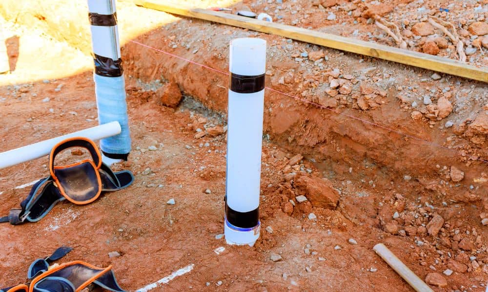
If you plan to build, there comes a point when plans on paper are no longer enough. At that stage, your project must move from drawings to real marks on the ground. That is where a construction staking survey becomes important. Many property owners only hear about it after a builder or inspector asks for […]
Choosing the Right LiDAR Mapping Company in Austin: 7 Questions to Ask
If you’re planning a construction, land development, or engineering project in Austin, LiDAR mapping is one of the smartest tools you can use. It helps you see the land clearly—literally—by creating high-resolution 3D maps that show every rise, dip, and detail. But not all LiDAR services are the same. Choosing the right provider can make […]
Land Elevation Surveys: What They Are and Why They Matter
A land elevation survey measures the height of a property’s surface in relation to a fixed point. It plays a crucial role in construction, drainage planning, and flood risk assessment. Without accurate elevation data, property owners and developers could face costly errors and safety risks. This article explains what a land elevation survey is, why […]